 Vats Technosoft
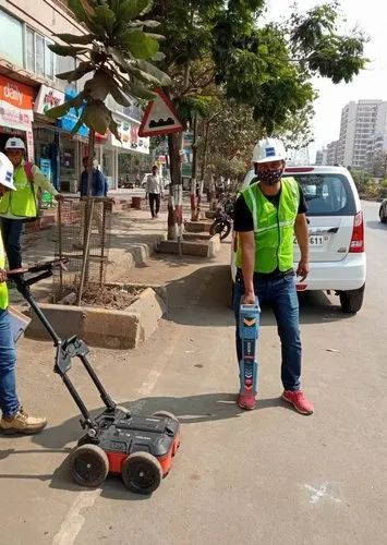
Ground Penetrating Radar (GPR) Survey
GPR is a geophysical survey method that uses high-frequency electromagnetic waves to image the subsurface. It is a non-destructive method that can be used to map a variety of features, including buried utilities, voids, and archaeological sites.
Engineers
Archaeologists
Construction companies
Utilities
Environmental consultants